Travel Hub
Plan a trip to Tuvalu

Tuvalu at a glance
Tuvalu is a country in Polynesia; its capital is Funafuti. People mainly speak Tuvalu and English. The currency is the Australian Dollar (AUD). VoyaKin maps 4 places to see here.
- Flag
- 🇹🇻
- Capital
- Funafuti
- Region
- Polynesia
- Languages
- Tuvalu, English
- Currency
- Australian Dollar (AUD)
- More
- Wikidata
Before you go: official information
Entry rules, visas and health requirements change. Confirm them with Tuvalu’s official immigration authority or its embassy before you book and again before you travel.
Check your own government’s travel advice before you go.
Places to see in Tuvalu
Descriptions from Wikipedia and photos from Wikimedia Commons, credited on each card.

Funafuti
Island · Funafuti
Funafuti is an atoll, comprising numerous islets, that is the capital of Tuvalu. As of the 2017 census, it has a population of 6,320 people. More people live in Funafuti than the rest of Tuvalu combined, with it containing approximately 60% of the nation's population.
Text: Wikipedia (CC BY-SA 4.0). Photo: Davidarfonjones (CC BY-SA 3.0). Map

Niulakita
Island · Niutao Island Council
Niulakita is the southernmost island of Tuvalu, and also the name of the only village on this island. Niulakita has a population of 36. The residents of Niulakita have moved to the island from Niutao. Niulakita is represented in the Parliament of Tuvalu by the members of the constituency of Niutao.
Text: Wikipedia (CC BY-SA 4.0). Photo: USGS/NASA Landsat Program, found and cropped by Szczureq (Public domain). Map
Niutao
Island · Niutao Island Council
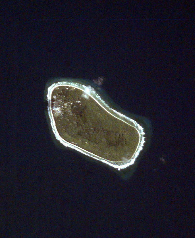
Niutao is a reef island in the northern part of Tuvalu. It is one of the nine districts (islands) of Tuvalu. It is also one of the three districts that consist of only one island — not counting the three islets inside the closed lagoon. Niutao has a population of 550.
Text: Wikipedia (CC BY-SA 4.0). Photo: NASA (Public domain). Map

Fongafale
Island
Fongafale is the largest and most populated of Funafuti's islets in Tuvalu. It is a long narrow sliver of land, 12 km 7.46 miles long and between 10 and 400 metres wide, with the South Pacific Ocean and reef on the east and the protected lagoon on the west.
Text: Wikipedia (CC BY-SA 4.0). Photo: Wikimedia Commons: LiggingFongafale.JPG (CC BY-SA 3.0). Map


Keep exploring
Also in Polynesia: American Samoa · Cook Islands · French Polynesia · Niue · Pitcairn Islands · Samoa · Tokelau · Tonga
Last updated November 12, 2026. Sources: Wikipedia (CC BY-SA 4.0), Wikimedia Commons, OpenStreetMap (ODbL). Partner offers below are separate from this guide and never change what’s written here.
Plan & book Tuvalu
Partner linksVoyaKin may earn a commission if you book through a partner link. It doesn’t change your price. How we work with partners
Flights
Kiwi.com
Search flights on Kiwi.com
Compare routes to and from this country.
Partner link. VoyaKin may earn a commission if you book through this link, at no extra cost to you.
eSIM & staying connected
Saily
Stay connected: get an eSIM before you fly.
VoyaKin travelers get US$5 off their first Saily plan with code VOYAKIN9122.
VoyaKin readers’ code
Partner link. VoyaKin may earn a commission if you book through this link, at no extra cost to you.
Partner linksVoyaKin may earn a commission if you book through a partner link. It doesn’t change your price. How we work with partners