Travel Hub
Plan a trip to Djibouti
Djibouti at a glance
Djibouti is a country in Eastern Africa; its capital is Djibouti. People mainly speak French and Arabic. The currency is the Djiboutian Franc (DJF). VoyaKin maps 16 places to see here.
- Flag
- 🇩🇯
- Capital
- Djibouti
- Region
- Eastern Africa
- Languages
- French, Arabic
- Currency
- Djiboutian Franc (DJF)
- More
- Wikidata
Before you go: official information
Entry rules, visas and health requirements change. Confirm them with Djibouti’s official immigration authority or its embassy before you book and again before you travel.
Check your own government’s travel advice before you go.
Places to see in Djibouti
12 of the 16 places VoyaKin maps here. Descriptions from Wikipedia and photos from Wikimedia Commons, credited on each card.
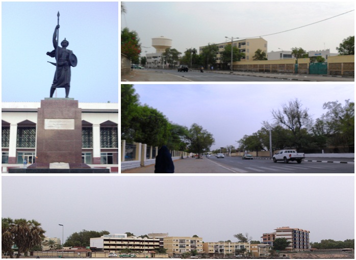

Lake Assal
Lac Assal بحيرة عسل
Lake · Tadjourah Region
Lake Assal is a crater lake in central-western Djibouti. It is located at the western end of Gulf of Tadjoura between Arta Region, and Tadjoura Region, touching Dikhil Region, at the top of the Great Rift Valley, some 120 km (75 mi) west of Djibouti city.
Text: Wikipedia (CC BY-SA 4.0). Photo: NASA (Public domain). Map

Tadjoura
Town · Tadjourah Region
Tadjoura is one of the oldest towns in Djibouti and the capital of the Tadjourah Region. The town rose to prominence in the early 19th century as an alternative trading port to nearby Zeila. Lying on the Gulf of Tadjoura, it is home to a population of around 19,000 inhabitants.
Text: Wikipedia (CC BY-SA 4.0). Photo: Driss 19:28, 3. Jul. 2007 (CEST) (CC BY-SA 2.0 de). Map
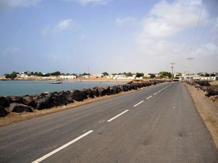
Obock
Town · Obock Region
Obock is a small port town in Djibouti. It is located on the Northern shore of the Gulf of Tadjoura, where it opens out into the Gulf of Aden. The town is home to an airstrip and has ferries to Djibouti City.
Text: Wikipedia (CC BY-SA 4.0). Photo: Luc Michel (CC BY-SA 3.0). Map

Ali Sabieh
Town · Ali Sabieh Region
Ali Sabieh is the second-largest city in Djibouti and the capital of the Ali Sabieh Region. It is situated about 98 kilometres southwest of Djibouti City, 10 km (6 mi) north of the border with Ethiopia, and along National Highway 5.
Text: Wikipedia (CC BY-SA 4.0). Photo: SupaDane at English Wikipedia (Original text: Dane Hansen) (Public domain). Map

Mousa Ali
Moussa 'Ali موسى علي
Mountain · Southern Red Sea Region
Mousa Ali is a 2,021 metres (6,631 ft) stratovolcano located on the tri-point of Ethiopia, Eritrea and Djibouti. The volcano is the highest point in Djibouti. The volcano's summit is truncated by a caldera, which contains rhyolitic lava domes and lava flows.
Text: Wikipedia (CC BY-SA 4.0). Photo: NASA (Public domain). Map

Moucha Island
Île Moucha جزيرة موشا
Island
Moucha Island is a small coral island off the coast of Djibouti. It is located at the center of the Gulf of Tadjoura. The island is part of the Djibouti Region; the island has a total population of about 20 inhabitants, which increases considerably during the summer.
Text: Wikipedia (CC BY-SA 4.0). Photo: Skilla1st (CC BY-SA 4.0). Map

Day Forest National Park
Forêt du Day
Park & nature · Tadjourah
Day Forest National Park, also known as Forêt du Day National Park, is a national park in the Goda Mountains and Tadjourah Region of Djibouti. The region is one of the very few forested areas of Djibouti, which taken as a whole is one of the least forested countries on Earth.
Text: Wikipedia (CC BY-SA 4.0). Photo: Singlab (CC BY-SA 3.0). Map

Ardoukoba
Mountain · Tadjourah Region
Ardoukoba is a fissure vents volcano in Djibouti. Located on the coast 100 kilometres (62 mi) from Djibouti City, its summit is situated at 298 metres (978 ft) above sea level. It last erupted in November 1978 following an earthquake, the area having been dormant for 3,000 years.
Text: Wikipedia (CC BY-SA 4.0). Photo: Rolfcosar (CC BY-SA 3.0). Map
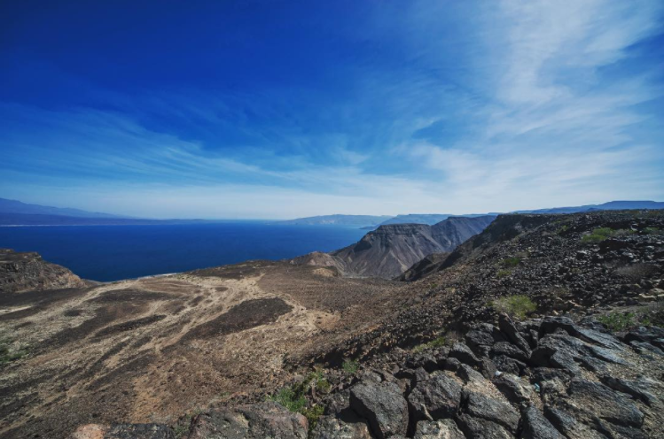
Ghoubbet-el-Kharab
Baie de Ghoubbet-el-Kharab اب
Beach · Tadjourah Region
The Ghoubbet al-Kharab or Lake Ghoubbet is a Djiboutian cove separated from the Gulf of Tadjoura by a narrow channel historically known to have violent currents.
Text: Wikipedia (CC BY-SA 4.0). Photo: Skilla1st (CC BY-SA 4.0). Map

Ras Siyyan
Viewpoint · Obock
Ras Siyyan or Ras Siyan is a peninsula in the Obock Region of Djibouti, on the Bab-el-Mandeb strait, about 20 km southwest of Perim Island.
Text: Wikipedia (CC BY-SA 4.0). Photo: From WorldWind software (Public domain). Map

Our Lady of the Good Shepherd Cathedral
Cathédrale Notre-Dame du Bon-Pasteur - كاتدرائية السيدة العذراء الراعي الصالح
Religious · Djibouti
The Our Lady of the Good Shepherd Cathedral or simply Cathedral of Djibouti, is a church built in the second half of the twentieth century. It is the main Catholic church in the Diocese of Djibouti in the African country of Djibouti.
Text: Wikipedia (CC BY-SA 4.0). Photo: Cjulien21 (CC BY-SA 4.0). Map
Keep exploring
Also in Eastern Africa: Kenya · Tanzania · Ethiopia · British Indian Ocean Territory · Burundi · Comoros · Eritrea · French Southern and Antarctic Lands
Last updated November 12, 2026. Sources: Wikipedia (CC BY-SA 4.0), Wikimedia Commons, OpenStreetMap (ODbL). Partner offers below are separate from this guide and never change what’s written here.
Plan & book Djibouti
Partner linksVoyaKin may earn a commission if you book through a partner link. It doesn’t change your price. How we work with partners
Flights
Kiwi.com
Search flights on Kiwi.com
Compare routes to and from this country.
Partner link. VoyaKin may earn a commission if you book through this link, at no extra cost to you.
Tours & experiences


Partner links via Viator. Ratings, reviews and prices come from Viator and may change. VoyaKin may earn a commission if you book through a partner link. It doesn’t change your price.
eSIM & staying connected
Saily
Stay connected: get an eSIM before you fly.
VoyaKin travelers get US$5 off their first Saily plan with code VOYAKIN9122.
VoyaKin readers’ code
Partner link. VoyaKin may earn a commission if you book through this link, at no extra cost to you.
Partner linksVoyaKin may earn a commission if you book through a partner link. It doesn’t change your price. How we work with partners